SAS GEOSPATIAL, LLC
  • Home
  • About Us
  • People
  • Services
  • Media
  • Careers
  • Contact

Coatesville Train Station 

Picture
Picture
Picture
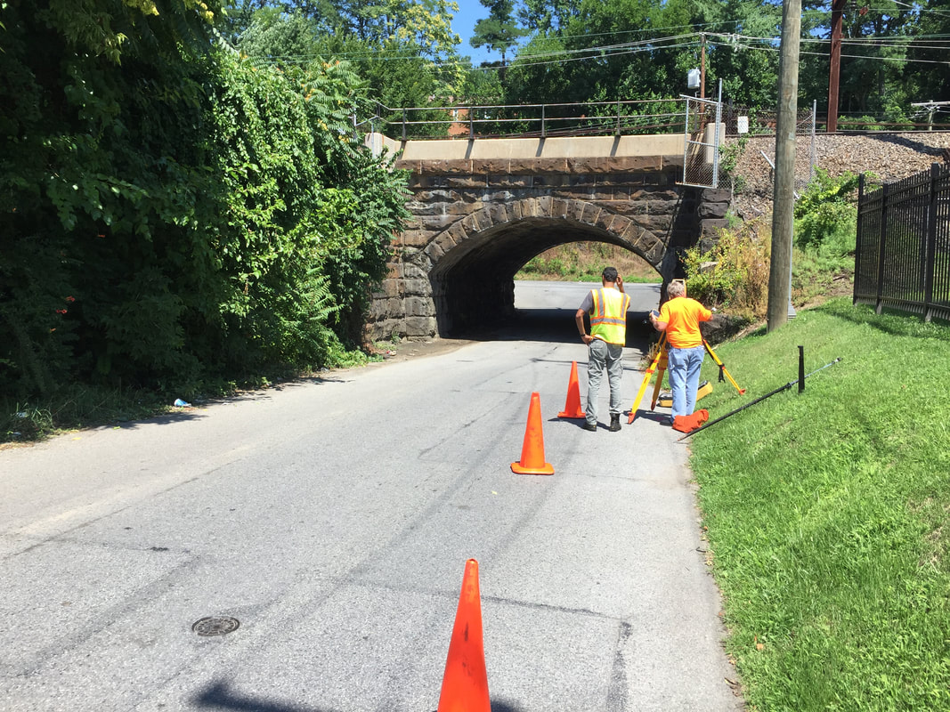
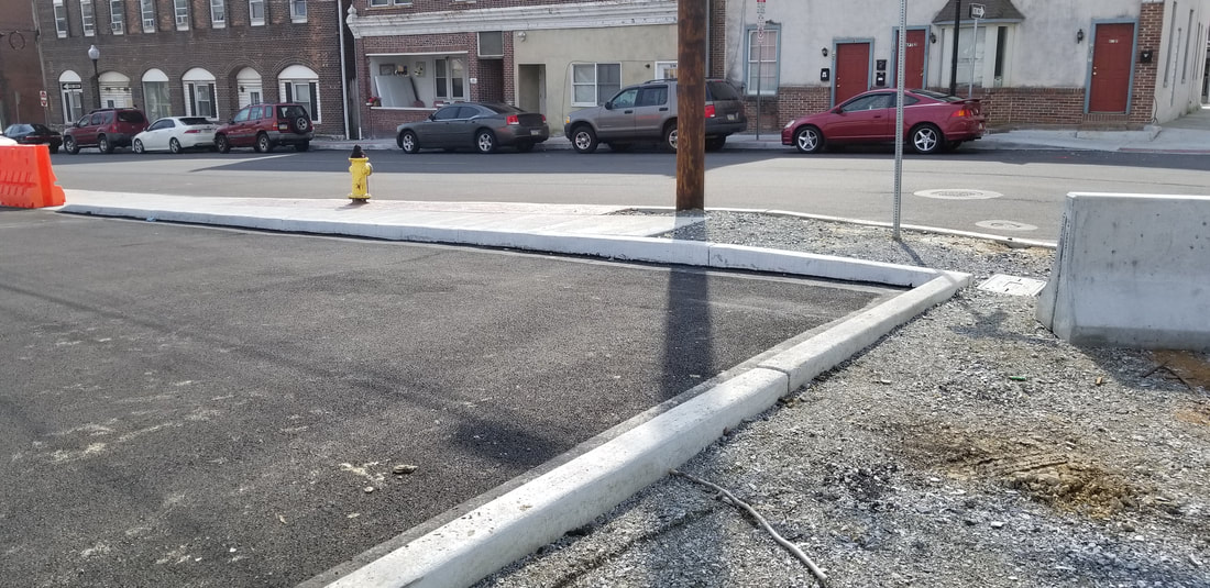
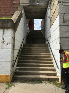
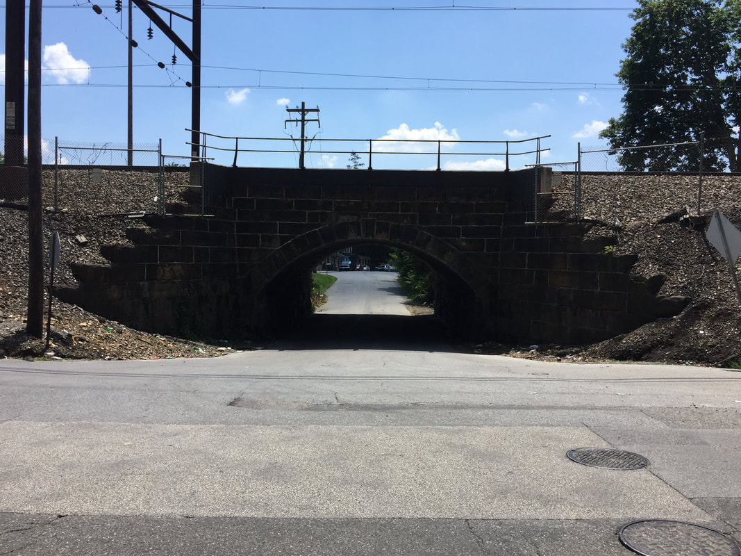
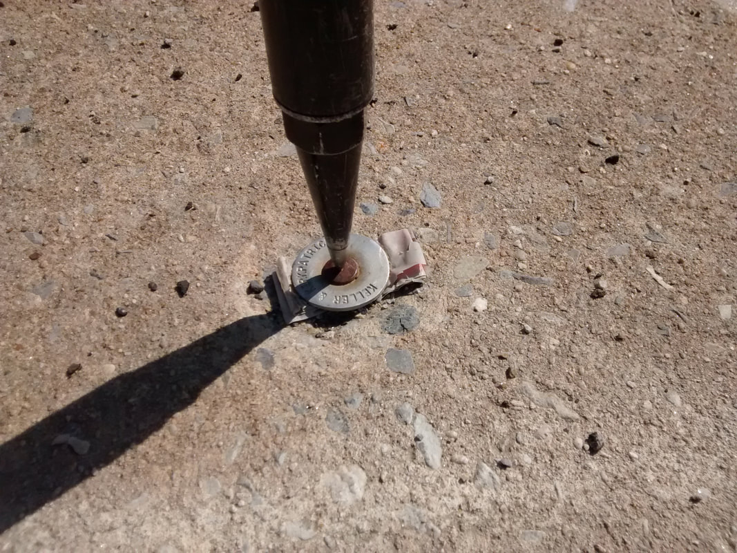
SAS worked with the client to perform a boundary and topographic survey for a neighborhood development project in the City of Coatesville. The project included the boundary survey of 28 lots, the vacation of two city streets, the consolidation of the lots into one and the creation of three lots. SAS also performed GPS network survey, aerial control survey, bridge and rail survey and ADA Compliance survey. ​
Picture
Picture


​

Picture

​​215.343.5989
1432 Easton Rd, Suite 5F. Warrington, PA 18976
A Certified Minority Business Enterprise (MBE), Disadvantaged Business Enterprise (DBE), and Small Business Enterprise (SBE) Firm


© ​2019 SAS Geospatial, LLC
  • Home
  • About Us
  • People
  • Services
  • Media
  • Careers
  • Contact