Commercial/Residential
Boundary Survey
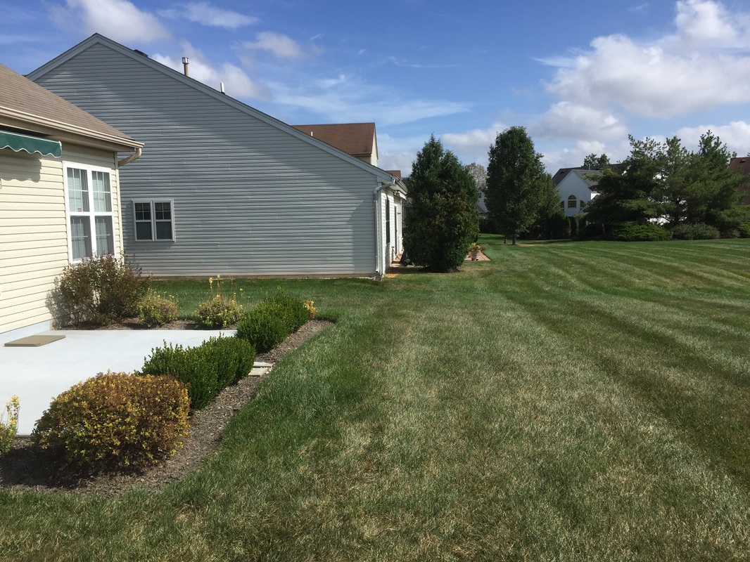
A retracement survey of a boundary along with any encumbrances to the property including easements, encroachments, restrictions and rights of ways.

Pool/Fence Survey
A survey depicting the property's boundary for the support in design of fences and pools.
|

ALTA/ACSM Land Title SurveysA detailed retracement type survey typically performed on commercial properties and required by a lending institution. A title report and supporting documentation are supplied by the client.
Existing Condition Surveys
A detailed survey depicting boundary information, topographic features and visible utility information that services the subject's property.
|
Topographical SurveysA detailed survey depicting contours and elevations of the existing features and usually tied to a known benchmark.
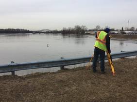
FEMA Elevation Certificates
- Document your building elevation
- Determine your flood insurance premium - Ensure compliance with community floodplain ordinances - File a Letter of Map Amendment (LOMA) |