
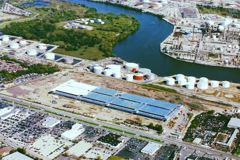

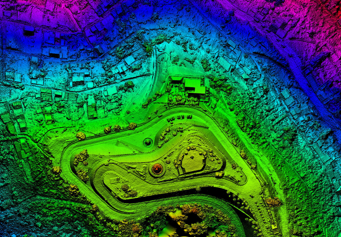
Aerial services include:
- Aerial Mapping
- Digital Orthophotography
- Airborne LIDAR
- UAS acquisition and data processing
- Digital Elevation Models
- 3D Point Clouds

Headquarters | 2005 S. Easton Road, Suite 207, Doylestown, PA 18901 | 215.343.5989
A Certified Minority Business Enterprise (MBE), Disadvantaged Business Enterprise (DBE), and
Small Business Enterprise (SBE) Firm
A Certified SBA 8(a) Firm
© 2024 SAS Geospatial, LLC