
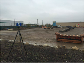
Laser Scanning3D laser scanning creates a point cloud to capture the size and shape of a physical object or environment into the computer world as a digital 3-dimensional representation.
|
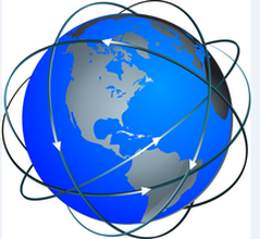
GISGIS stands for Geographic Information Systems. It allows us to view and query many layers of spatial and geographic data on one map.
|
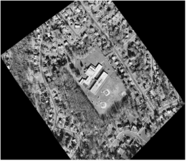
Aerial SurveysWe can collect information and data from airplanes and UAVs and create a survey using that data.
|

Headquarters | 2005 S. Easton Road, Suite 207, Doylestown, PA 18901 | 215.343.5989
A Certified Minority Business Enterprise (MBE), Disadvantaged Business Enterprise (DBE), and
Small Business Enterprise (SBE) Firm
A Certified SBA 8(a) Firm
© 2024 SAS Geospatial, LLC