
SubdivisionsDivision of a parcel of land into two or more lots in accordance with township subdivision and land development ordinances.
|

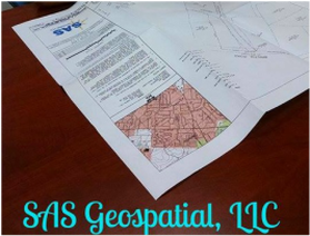
Legal Descriptions and DeedsA written description of a property's boundaries identifying the geographical location, along with the intent of the parties of the transaction.
|
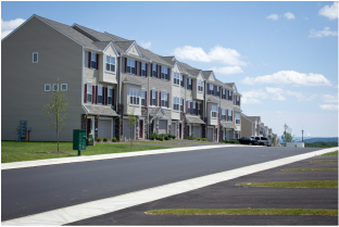
Site PlansA plan set showing the proposed conditions of the design along with the grading, drainage and erosion and sedimentation control measures.
|

Headquarters | 2005 S. Easton Road, Suite 207, Doylestown, PA 18901 | 215.343.5989
A Certified Minority Business Enterprise (MBE), Disadvantaged Business Enterprise (DBE), and
Small Business Enterprise (SBE) Firm
A Certified SBA 8(a) Firm
© 2024 SAS Geospatial, LLC